Posts

August 31, Loop into Pennsylvania and Blank Odometer
Image
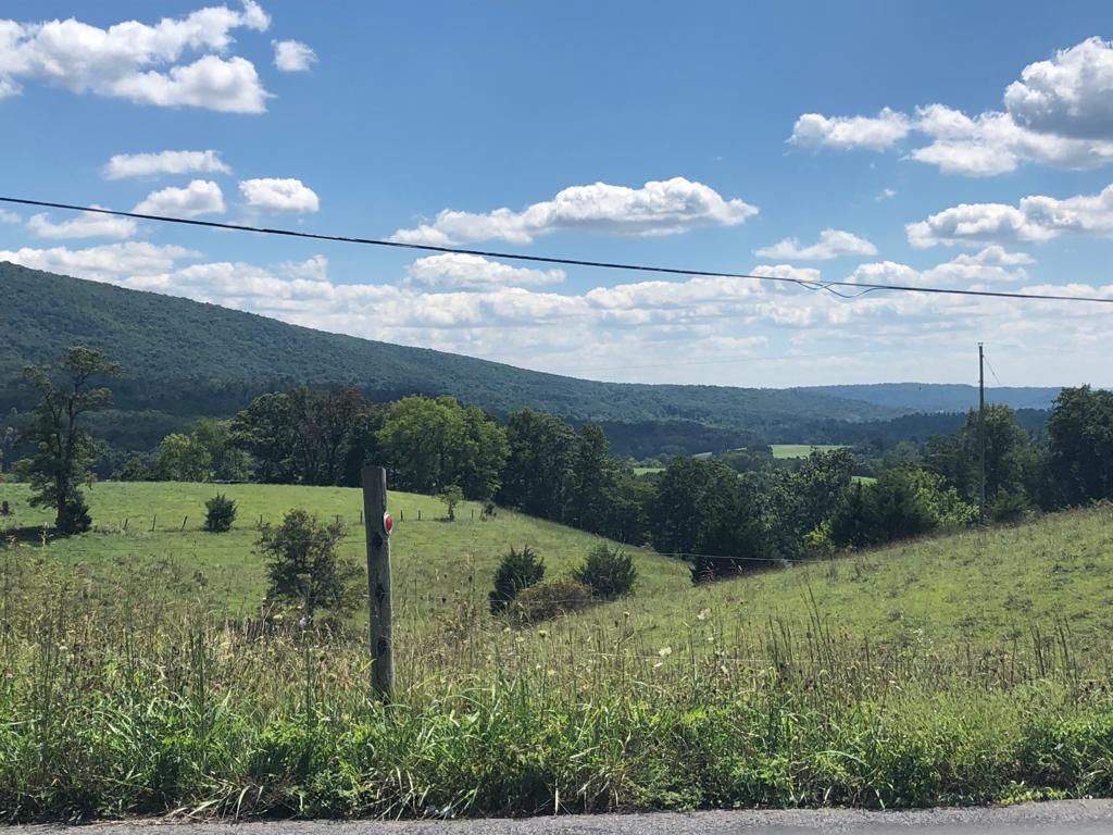
https://ridewithgps.com/trips/ 101562197   We have been looking at the last portion of our trip, and are thinking of traveling on Skyline Drive.  However, we didn't want to travel on it on the busy holiday weekend.  So we have  a couple extra days to spend before we go to Skyline. So we are staying an additional night at the Bike Bunkhouse. Tonight we have the place to ourselves (so far); the  rain drove in 5 other bicyclists yesterday who were all muddy and wet, and were eager for showers and a dry place to sleep. We asked at the bike shop if they had any suggested loops that weren't on the 2 trails and they did not, so we used our cycling apps and came up with a route that gave us about 2600 feet of climb which is good prep for Skyline.  We headed up a pleasant, rolling valley between 2 ridges, then we crossed over the ridge on our right and then a second one, then headed back toward Hancock.  We had perfect weather, beautiful views of ridges, woods ...

August 30. Another Flat and Bike Bunkhouse

Image
  Where we camped last night, the train track was on the West Virginia side of the Potomac.  Because we were at the point of a long peninsula on the Maryland side we could hear the trains for a long time as they went around the peninsula on the other side. From the shore of the river, you could just see the train in several spots through the trees.  Since we had seen trains that seemed abnormally long to us on earlier days, Kay counted the cars on a couple as best she could, one was well over two hundred and one was about 150.  We also saw the Amtrak train.     Today we got up to an eastern screech owl calling.  It was a nice morning but several days ago the weather report was for rain and the last we knew it would be starting sometime in the middle of the day.   We had something to eat and walked down the path to look at the Potomac, and it was about 8" lower than the night before!  This made us curious if we could wade across, as ...

August 29. Lost and Found

Image
   Today we said goodby to our gracious host in Cumberland.  She has a foldable bike that she has taken to Europe and also traveled with it widely in the US.  We also heard her amazing story about when  she was scuba diving and had a large alligator swim up rapidly to her  and touch her flippers.  Just before this her diving companions had told her to freeze and not move, so she did. Then after what seemed like an eternity the large alligator drifted away.   She escorted us to the canal and we parted with hugs and a prayer. The towpath on the C & O canal is not  as smooth as most of the rail trails we have been on; it has a lot more ruts and stones. But it has the wild Potomac River on the one side about 2/3 of the time and on the other side is the canal, which sometimes has water in it and other places is dry with trees growing up in it. There are old locks and lock houses or their foundations  and occasionally an a...

August 28 Hospitality and Being Regular Tourists

Image
https://ridewithgps.com/trips/101292315    Today we left our tent set up at our Warm Showers Host's house as she is letting us stay there for another night and rode our mainly unloaded bikes across Wills Creek and up the hill to St Paul's Lutheran Church which has been a body of believers since 1794.     The message was on being hospitable in spite of our differences. We have really sensed hospitality from the people we have met and in particular our Warm Shower hosts. As we started back down the hill, we started seeing historical signs about the old Fort Cumberland which had been located there on the hill and about George Washington's involvement with the fort. He started his military career there and ended it there when as Commander in Chief, he reviewed the troops come to put down the Whiskey Rebellion. That was the last time he put on a military uniform. We then found the 184.5 mile marker for the end of the C & O Canal.   ...

August 27 Milestones

Image
https://ridewithgps.com/trips/ 101189845 After returning to the campground last evening, there were some threatening clouds building up in the west.  We checked weather, and even though no rain had been predicted for yesterday, we got rained on for 20 minutes and now thunderstorms were predicted for the next hour or two.  We quickly moved our tent to the raised covered stage and sure enough started seeing some lightning.  So we were thankful to be under cover.   Today began with a series of 2 beeps right in a row every 5 to 10 minutes which started about 5:30. At first we thought that one of the other people in the campground were not turning off their alarm on their cell phone, or could it have been a nearby house where the battery was going bad on an alarm?   We went to breakfast at Donges, the same place we had supper.  One of a group of 4 on e-bikes were also camping came there too before the rest arrived. We found out that this man's 15-year-...

August 26. ER for Bicycles

Image
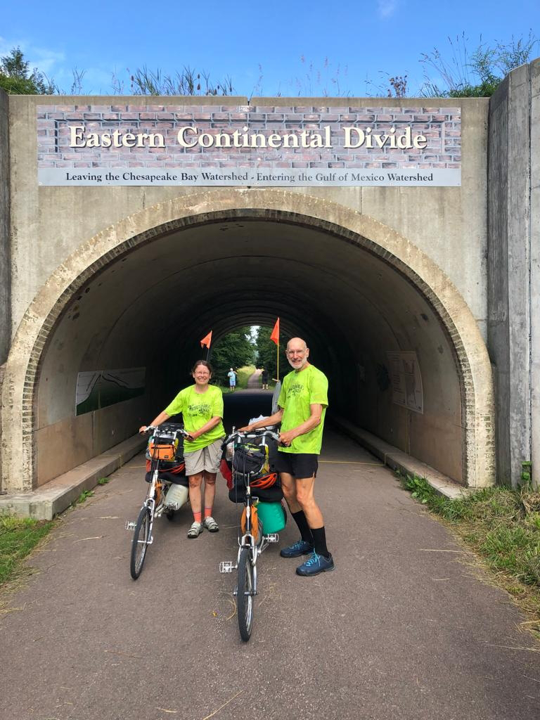
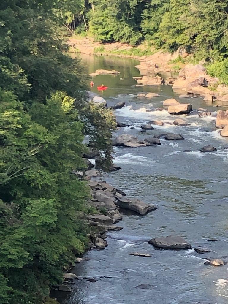
We forgot to mention in yesterday's blog that, not including the miles from our family bike ride, we passed 4000 miles on this trip yesterday morning!     This morning, we got up at our usual time but between eating and talking with Kerry it was almost 9 before we left.  She shared with us her daughter's story about competing in Olympic cycling and then coming down with a never- diagnosed disease that caused a lot of tissue swelling, issues with her heart and made her extremely ill, and how they were consulting with all kinds of doctors. Kerry was stuck in Australia because of Covid, but eventually was able to join her.  After a period of time, her daugher spontaneously started feeling better and has been racing again.        Kayaks on the Yough in Ohiopyle State Park Our ride continued on through the large Ohiopyle Park for quite a while. We got lunch in Confluence which is where the Youghiogeny and Casselman Rivers and Laurel Hi...

August 25, Two Waterfalls

Image
Today we rose to another morning with light fog, with the sun trying to pretend that it was the moon.  Later on in certain places as we rode along the trail, the sun shone between trees, creating sunbeams angling across the trail in the mist.   Last night we had heard about 2 waterfalls we would see today from a trail volunteer: the white waterfall, whose waters contaminated from aluminum production had stained the rocks white, and the red waterfall, where acid iron-laden water from an old coal mine stained the rocks red.   We ate breakfast about 10 miles away in West Newton where we had the 2 x 4 special:  two large pancakes, 2 pieces of toast, 2 eggs and 2 pieces of bacon. Last night, people at the campground had recommended this restaurant to us.  Although the trail became unpaved shortly after Pittsburgh, it it a smooth, wide surface of finely crushed limestone that is in great shape and easy to ride on.   ...